

Ste. Genevieve Levee Wildlife Refuge: Where Flood Defense Becomes Eden
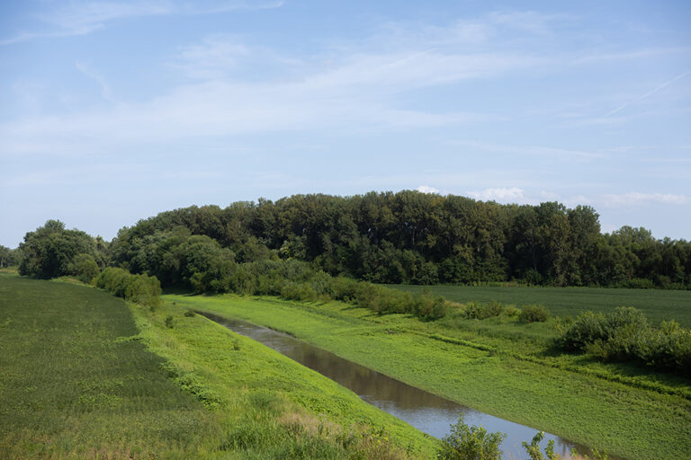
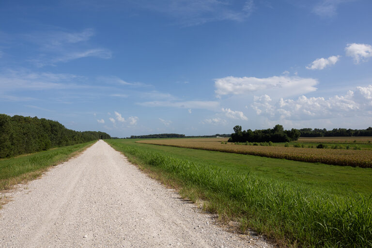
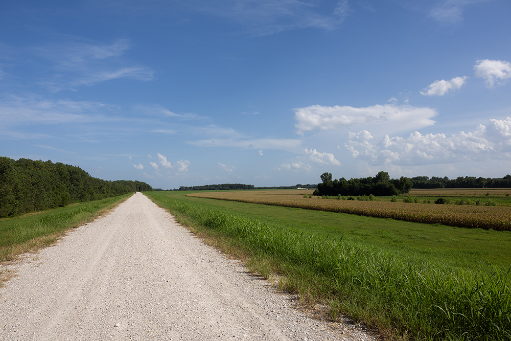
Between downtown’s brick facades and the Mississippi River’s dark embrace, more than 200 acres of bottomland forest, wetland, and open field transform a massive levee—built in response to catastrophic flood—into sanctuary where white-tailed deer browse at dawn, great blue herons hunt the shallows with patient stillness, and bald eagles perch through winter within towering cottonwoods overlooking the great river itself. Dedicated in 2021 after seven years of collaborative vision between the City of Ste. Genevieve, U.S. Fish and Wildlife Service, both levee districts, Missouri Department of Conservation, and Army Corps of Engineers, this refuge embodies something rare: infrastructure born from disaster transformed into blessing, flood protection reimagined as habitat, human engineering serving wildlife rather than dominating it. Here, along levee-top pathways and primitive trails descending toward the river’s edge, visitors encounter what 290 years of Ste. Genevieve’s relationship with the Mississippi has always offered: simultaneously magnificent and terrible beauty, bounty and threat, the particular romance that emerges only when human communities accept their genuine dependence upon landscape that doesn’t care about human comfort.
The Levee: Monument to Resilience
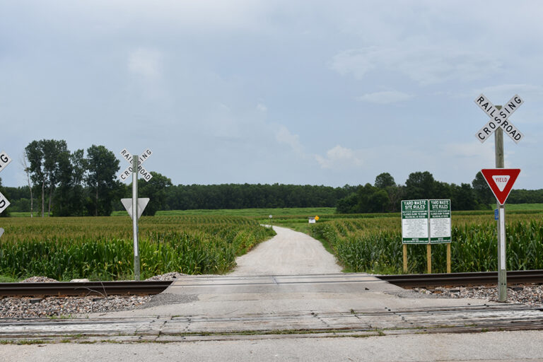
Understanding this refuge requires understanding the earthen barrier itself—massive, unglamorous, completed in 2001 after the devastating floods of 1993 and 1995 that repeatedly inundated Ste. Genevieve with reminder that settlement within Mississippi River floodplain carries consequences. The original French village, established closer to the riverbank during the 1730s for access to fertile bottomlands and trade routes, was relocated to higher ground after a catastrophic 1785 flood. Yet even the “new” downtown location—what remains today as the historic district—couldn’t escape the river’s periodic fury. The 1993 and 1995 floods forced a reckoning: either abandon Ste. Genevieve to the river or build massive protection.
The levee rose in response—unromantic earthen barrier, pragmatic infrastructure, the physical manifestation of collective refusal to abandon place despite its dangers. And then, remarkably, someone asked: what if this barrier became more than mere protection? What if floodplain restoration transformed the levee into habitat, if the infrastructure served wildlife alongside humans, if the massive investment became gateway to ecological recovery rather than just disaster prevention?
That vision created the refuge.
Four Interconnected Purposes
The collaborative committee—federal agencies, state conservation, city government, levee districts—identified four essential missions:
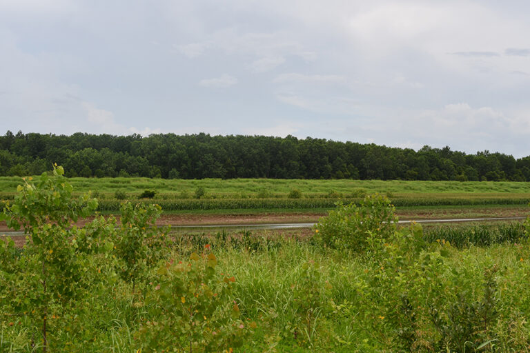
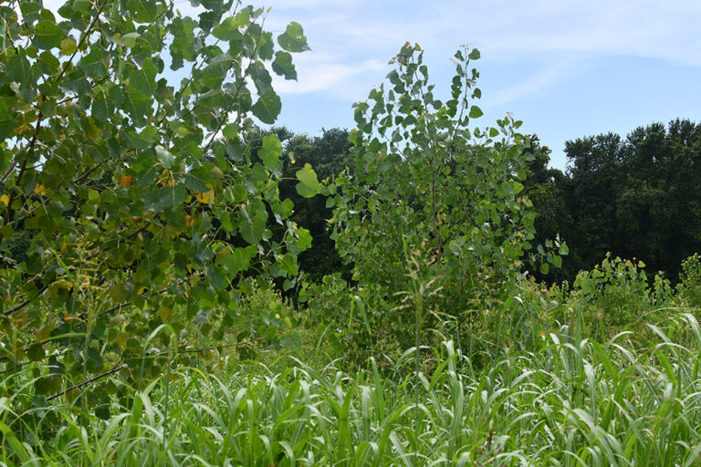
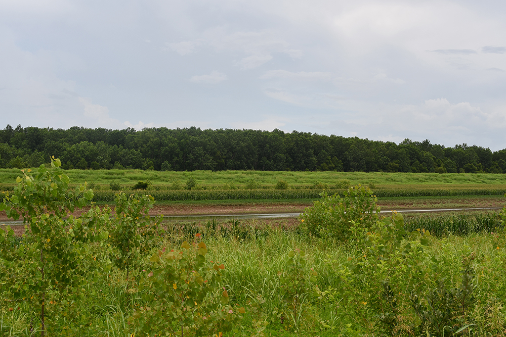
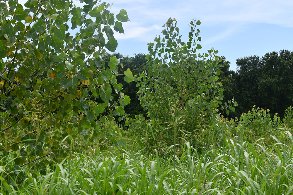
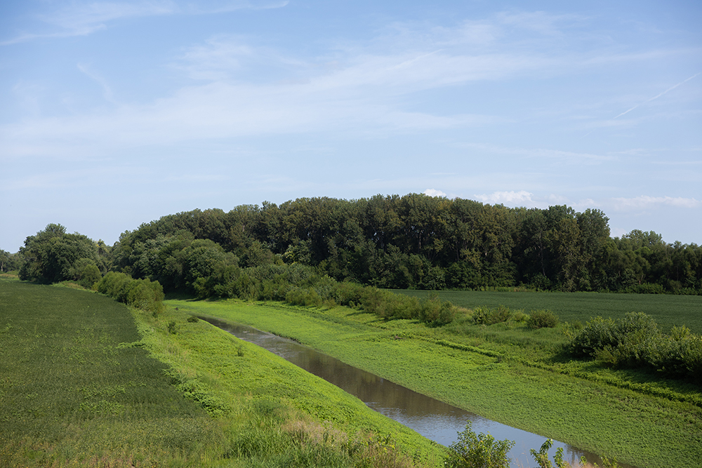
Wildlife Habitat: Restoring Mississippi River bottomland ecosystems increasingly rare across the continent. Native trees appropriate to river floodplain conditions, wetlands supporting diverse species, open fields attracting meadowlarks and other grassland residents. This isn’t manicured landscape but rather ecological recovery—allowing the floodplain to remember its pre-industrial function as habitat factory.
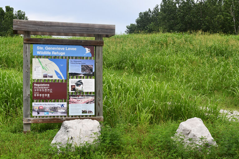
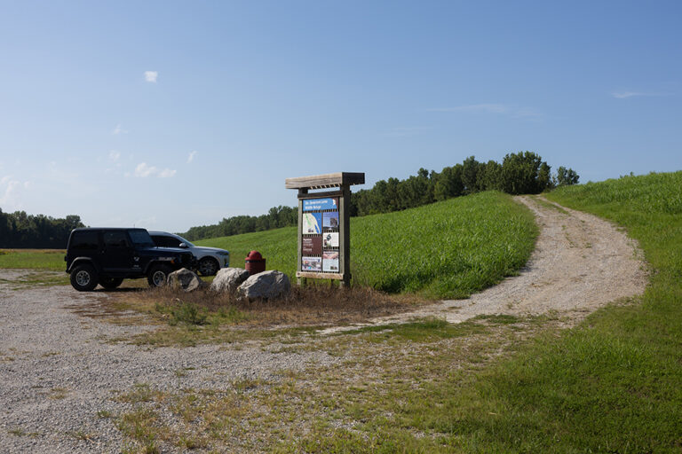
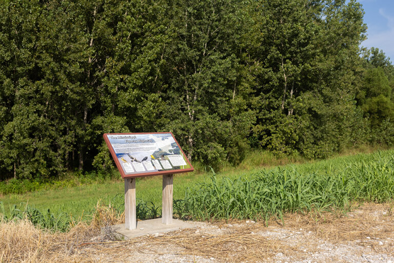
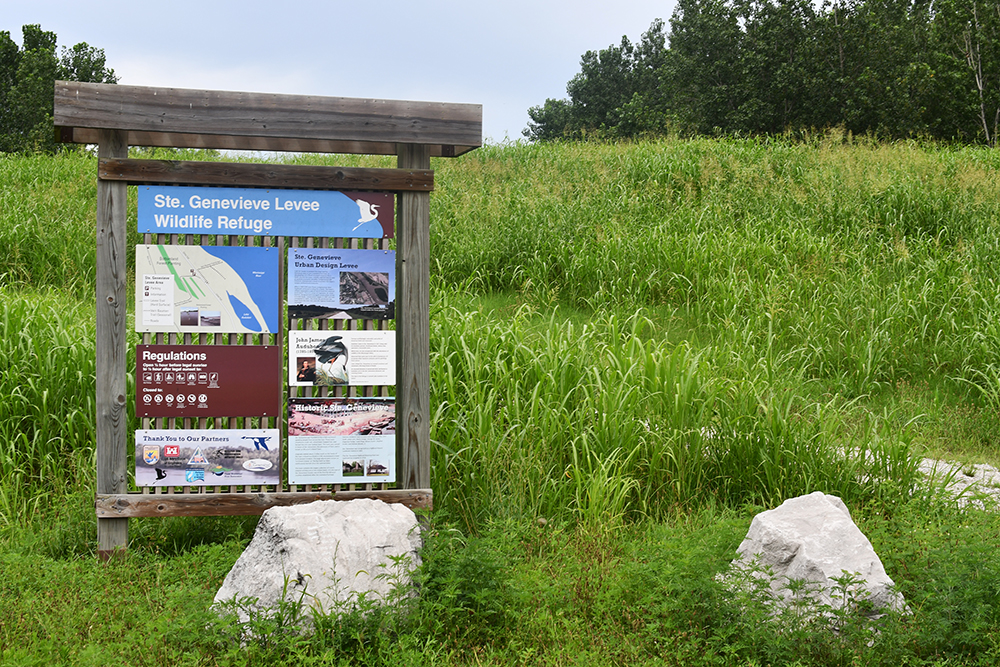
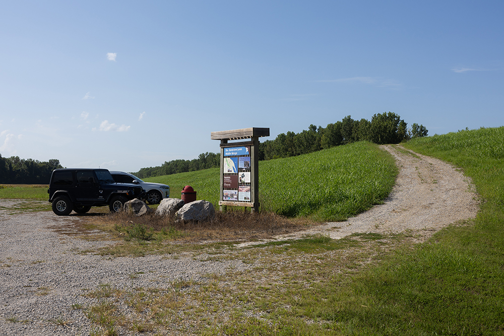
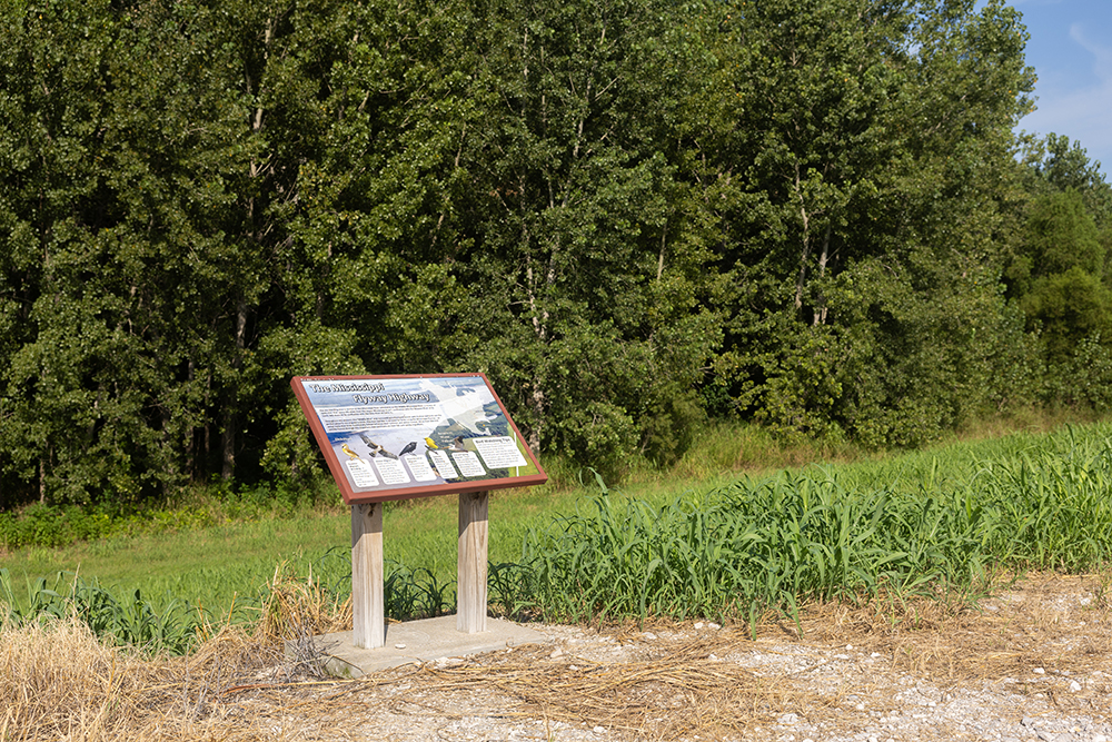
Public Access: Trails enabling families, school groups, birdwatchers, nature enthusiasts to experience undisturbed river bottomland. Levee-top pathways for walking and biking. Primitive trails descending toward the river. Information kiosks providing context. Parking and viewing areas serving different abilities and interests.
Historical Connection: Celebrating 290 years of Ste. Genevieve’s intimate, complicated relationship with the Mississippi. The river provided the fertile Grand Champ bottomlands attracting French colonists. It offered transportation and trade routes enabling commerce. It also delivered floods that repeatedly threatened the community’s survival. The refuge honors this genuine history rather than romanticizing it.
Education and Recreation: Creating outdoor space promoting public health, programming for schools and organizations seeking environmental education, heritage tourism offering visitors rare access to undisturbed Mississippi River ecosystems recently transferred to federal management.
Audubon’s Lingering Presence
Though John James Audubon lived in Ste. Genevieve only briefly—a few months in 1811 while his business partner Ferdinand Rozier established their mercantile operation—his connection persists through the refuge and broader heritage trail:
Lake Audubon, created as borrow pit during levee construction, now bears his name—a 30-acre water body supporting waterfowl and aquatic wildlife.
The Audubon Hotel downtown celebrates his legacy within brick and comfortable beds.
Audubon’s Walk—a special naturalist-led hike atop the levee held the Sunday after French Heritage Festival—spotlights birds Audubon himself might have observed: cliff swallows, horned larks, red-winged blackbirds, eastern bluebirds. The experience literally walks visitors through landscape he saw, asking them to notice what he noticed, to understand through observation what drew him to document North American birds with such obsessive precision.
The broader Audubon Heritage Trail connects multiple sites within the region: Hawn State Park, Pickle Springs, Hickory Canyon, Magnolia Hollow, the Levee Wildlife Refuge—places where visitors can, in Audubon’s own words, “follow Nature in her walks.”
Stormy Crawford Way: Connection Through Land
A waterfront pathway honoring Stormy Crawford—connecting downtown to the refuge—allows pedestrians and cyclists to travel from Main Street directly to the levee without vehicle logistics. This connectivity matters: the refuge isn’t isolated destination requiring driving but rather extension of downtown exploration, accessible through walking, integrated into the town’s geography.
The Wildlife: Encounters Awaiting
Within these 200+ acres, expect:
White-tailed deer browsing field edges and forest margins, particularly at dawn and dusk when light turns golden and vigilance eases into feeding.
Great blue herons standing motionless in shallows, embodying that particular patience required for hunting—stillness lasting minutes while waiting for fish to pass within striking distance.
Eastern meadowlarks singing from fence posts, their yellow breasts marked with black V-shapes, their songs carrying across open fields with clarity that demands listening.
Red-winged blackbirds flashing brilliant red and yellow shoulder patches, males performing territorial displays from cattail perches.
Cliff swallows swooping aerobatically through air, colonial nesters creating mud structures beneath bridges and overhangs.
Indigo Buntings arriving through spring and summer, these brilliant azure birds seeming too vivid for Missouri landscape— with persistent, chippy songs and electric blue plumage glowing against the foliage
Horned larks occupying ground-level territories in open areas, their subtle camouflage making them easy to miss until they flush.
Eastern bluebirds with brilliant blue plumage, cavity nesters occupying provided boxes, their presence indicating healthy ecosystem supporting cavity-dependent species.
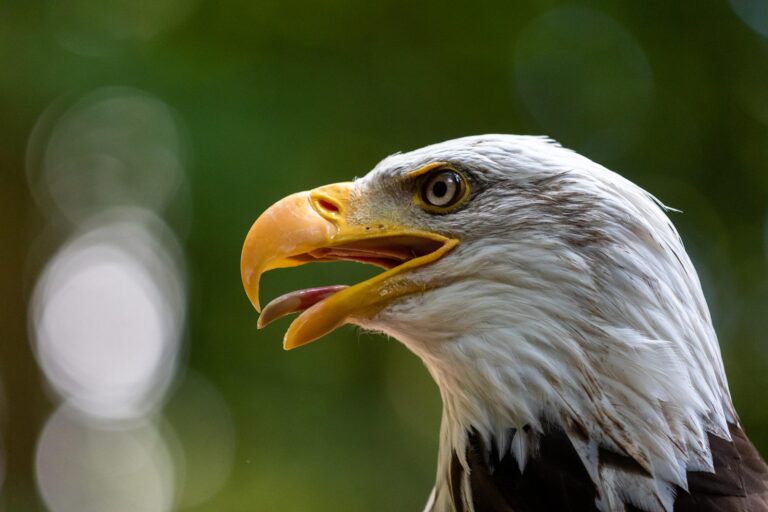
Bald eagles (November through March) perched within towering cottonwoods overlooking the river—the iconic predator indicating that this stretch of Mississippi has recovered enough to support apex wildlife.
Opossums, North America’s only marsupial, nocturnal but occasionally encountered during evening walks.
Practical Information
- Name: Ste. Genevieve Levee Wildlife Refuge
- Location: Between downtown Ste. Genevieve and Mississippi River (Stormy Crawford Way pedestrian access)
- Dedicated: 2021
- Size: 200+ acres
- Habitats: Bottomland forest, wetland, open field, river frontage
- Access: Levee-top pathway, primitive trails, viewing areas, parking
- Features: Lake Audubon (borrow pit lake, 30 acres), information kiosks, trail system
- Wildlife: Deer, herons, meadowlarks, bluebirds, bald eagles (winter), cliff swallows, red-winged blackbirds, horned larks, opossums
- Walking Distance: Downtown shops, restaurants, historic sites, Audubon Hotel
- Special Programming: Audubon’s Walk (Sunday after French Heritage Festival), guided naturalist hikes, school programs
- Part Of: Regional Audubon Heritage Trail (Hawn State Park, Pickle Springs, Hickory Canyon, Magnolia Hollow)
Perfect For:
- Birdwatchers exploring Mississippi Flyway migration routes
- Nature photographers seeking wildlife opportunities
- Families wanting accessible outdoor recreation
- History enthusiasts understanding Ste. Genevieve’s river dependence
- School groups seeking environmental education
- Those walking from downtown seeking river connection
- Audubon heritage trail followers
- Anyone understanding that flood protection infrastructure can become ecological blessing
The Levee Wildlife Refuge succeeds because it refuses false separation between human infrastructure and ecological health. The massive levee—pragmatic disaster response—became foundation for habitat restoration. Rather than isolated nature preserve requiring driving to distant location, the refuge sits within walking distance of downtown, integrated into community geography, accessible to families and school groups and casual walkers.
The multi-agency collaboration matters too. Federal agencies, state conservation, city government, levee districts working toward common purpose demonstrates that environmental restoration requires moving beyond individual organization siloes. This refuge is nobody’s vanity project but rather collective commitment to something larger than any single entity.
The Audubon connection, while brief in biographical terms, carries weight across centuries. That a naturalist visiting for mere months left impression profound enough to generate heritage trail, hotel naming, annual walks speaks to power of individual passion meeting landscape worthy of that attention.
The Experience
You walk from downtown along Stormy Crawford Way—the pedestrian pathway connecting brick streets to river landscape. Within minutes, urban gives way to bottomland. The levee-top pathway opens across your vision. You might encounter deer browsing at field’s edge. Herons hunt the shallows. If visiting November through March, bald eagles perch within cottonwoods overlooking the river itself.
You descend primitive trails toward the river, understanding through walking what those 1993 and 1995 floods meant, why the levee was built, why this landscape has always demanded respect and caution.
Morning might bring Audubon’s Walk—a guided hike led by naturalist, spotting birds he might have noticed during his 1811 months here, connecting contemporary observation to historical presence.
Evening finds you settled atop the levee, watching light shift across river, understanding why French colonists chose this location despite its dangers, why 290 years later the community remains, why some places claim you precisely because they challenge you.
Visit the Ste. Genevieve Levee Wildlife Refuge seeking what Mississippi River bottomlands offer: undisturbed ecosystem, wildlife encountering humans without aggression, infrastructure transformed into habitat, history made tangible through walking and observation. Walk the levee-top pathway from downtown. Hike primitive trails to riverfront. Watch for bald eagles perching within cottonwoods. Understand through experience why the river both blesses and threatens, why Ste. Genevieve persists despite floods, why 200 acres of restored bottomland matter more than statistics can express. Leave carrying river memory, wildlife encounters, the particular knowledge that emerges only through presence within landscape shaped by both human resilience and natural force beyond human control.

Sorry, no records were found. Please adjust your search criteria and try again.
Sorry, unable to load the Maps API.